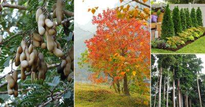
USDA’s Updated Plant Hardiness Map Shows Where Growing Zones Are Warming
Knowing the precise time to get annual plants into the ground and whether or not a perennial will grow in a given location is often buried in local community lore, but the US Department of Agriculture’s plant hardiness zone map is used by millions of growers to help determine which plants are likely to thrive in a location.
This first version was released in the early 1900s and refined multiple times. In 2012, the map received a massive overhaul backed by a novel climate modeling tool. And last week, the USDA unveiled its newest update, which underscores a warming trend perceived by many growers.
“The 2023 map is about 2.5 degrees warmer than the 2012 map across the contiguous United States,” said Dr. Christopher Daly, a senior professor at the university and the founding director of Oregon State University’s Climate Group, which developed the map with the USDA. “This translated into about half of the country shifting to a warmer five-degree half zone, and half remaining in the same half zone. The central plains and Midwest generally warmed the most, with the southwestern US warming very little.”
A complex model
Daly helps the USDA generate the widely used plant hardiness map using a system known as the Parameter-elevation Regressions on Independent Slopes Model (PRISM). This knowledge-based system interpolates climate elements in complex landscapes using data such as temperature, precipitation and other climatic factors, generating a continuous grid of weather estimates on a monthly, yearly or event-based basis.
“I’ve been interested in topography, mountains, valleys, rivers, coastlines and how they affect the environment around me,” says Daly. “I took what I knew and learned to do that and developed the first
Read more on modernfarmer.com